An online project under the direction of the CAPE ANN MUSEUM
Historical Materials
Historical Materials » Boston Locales, Businesses, & Buildings » Boston City Views
Boston City Views
View related Fitz Henry Lane catalogue entries (11) »
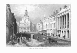
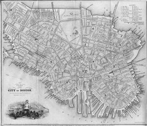
1837 9 x 14 in. Cape Ann Museum Library & Archive
Showing Lane's neighborhood while working in Boston. Lane had studios at the intersection of Washington and State Streets, Summer, Tremont and School Streets.
Also filed under: Lane & Scott's, Lith. – Boston » // Maps » // Professional » // Residences » // Tremont Temple »
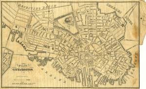
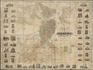
1847 Map insert to Boston Almanac and Directory Cape Ann Museum Library & Archive
Also filed under: Maps » // Residences » // Tremont Temple »
Printed map inside Boston Almanac
Published by B. B. Mussey & Co. and Thomas Groom, Boston
Cape Ann Museum Library & Archive (R910.45 B65 1848)
Map at front of almanac with Tremont Temple highlighted.
Also filed under: Boston Harbor » // Maps » // Tremont Temple »
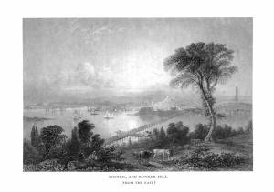
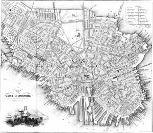
1852 Boston Boston Public Library: Norman B. Leventhal Map Center Call Number: G3764.B6 1852.M35
Also filed under: Maps » // Residences »